
History |
Ontario by the Numbers |
Max. Depth802 feet
Elevation243 feet
|
Shore Length634 miles
Inhabited by Humans~2,000 years
Discovered by Europeans1615
|
Volume393 cubic miles
Surface Area7,340 square miles
|
Basin Map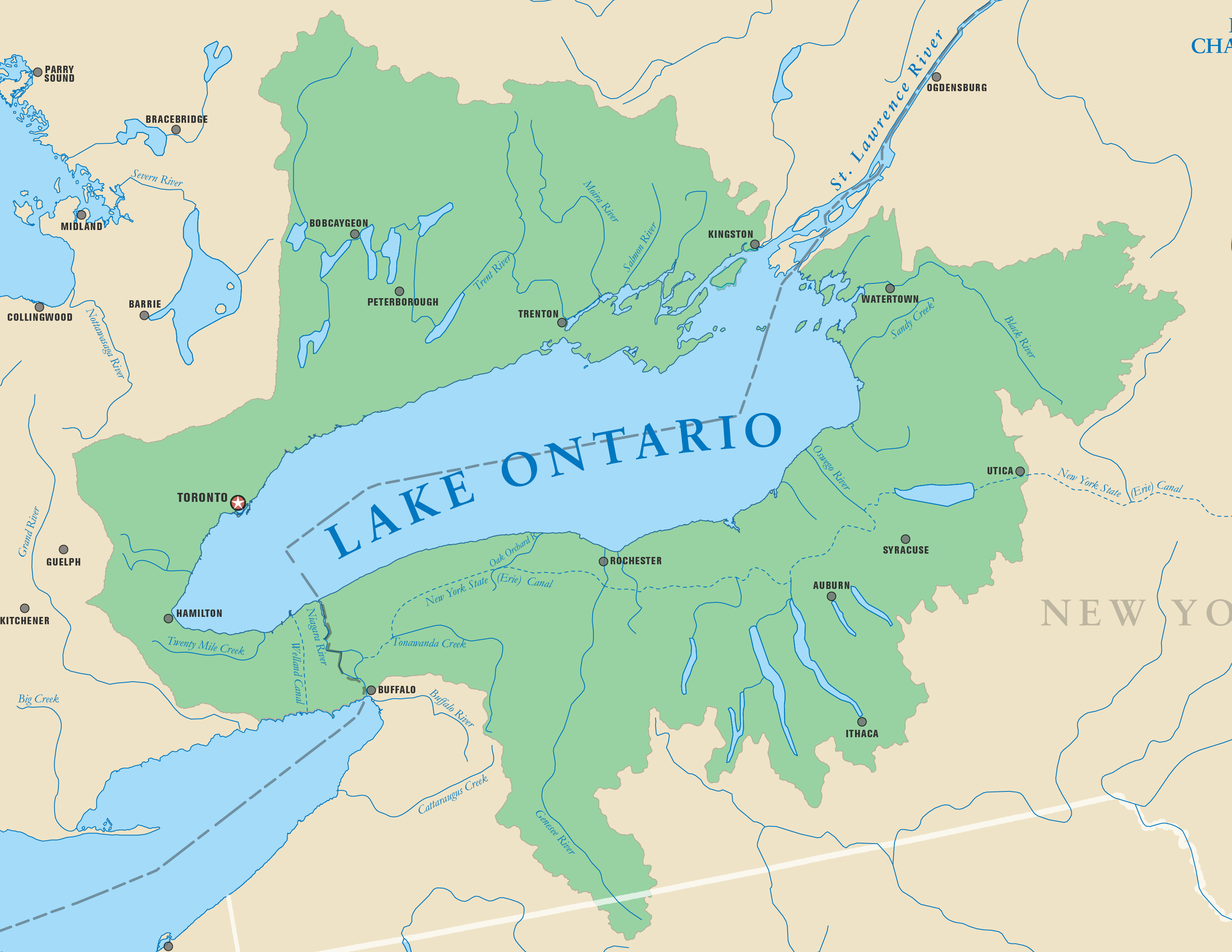
|
Bathymetric Map
|
Major Cities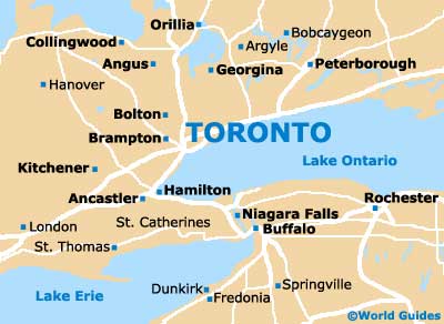
|
